About
The walk starts and finishes in Seaham Hall Beach car park where there are toilets and a café. The sculpture in the car park represents the plan of the parish church of St Mary the Virgin.
Leave the car park and head east towards the sea. There is a RNLI sign at the top of the steps. Turn right here and follow the footpath towards the main road. At the road turn left and follow the path for approximately 160 yards (150m) and look out for Church Lane on the opposite side of the road.
Cross the road and follow the track up Church Lane towards St Mary the Virgin Anglo Saxon Church. Go through a gate on the right opposite the church and follow the path to the left.
Seaham Hall can be seen on the right. Continue along the track over the bridge. After approximately 30 yards (25m) there are steps on the right. Going down the first 15 steps we turn left, walk a few paces along this almost hidden little path. The brick eggshaped structure in front of us was an Ice House. Return back up the steps to the main track and continue right along the track.
At the fork take the left path. It is known as New Drive and was built for Lady Londonderry after her husband died in 1854, to shorten her drive to her offices beside the harbour. Continue along the path keeping the fence to the left. Looking across the playing fields, we can see New Seaham with Christ Church on the skyline. New Seaham developed to serve the needs of Seaham Colliery which was sunk in the 1840’s and has a record of explosions and loss of life, including the 1880 disaster, one of the biggest in the history of coal mining with the loss of 164 lives.
The track becomes metalled when we reach Seaham Harbour Cricket Club. Continue straight ahead until we reach Seaham Train Station on the right. There are interpretation panels at the station. Continue on as the road bears to the left . We come to the town’s
Roman Catholic Church of St Mary Magdalene on your left. Opposite the church, a gap in the wall allows us access to a footpath leading to the town centre. Walking through the gap turn left and follow the route of another railway, built at the same time as the harbour to transport coal from the Londonderry pits in mid-Durham.
Continue along this path under 3 bridges until it reaches the end. On leaving the footpath take the first right along Adelaide Row to today’s main shopping centre, Church Street. Looking right we can see St John’s Church dating from 1840 and characteristic of that period. Turn left and continue down Church Street.
Reaching the end of Church Street we see a new shopping centre on the right. Turn left and pass a restaurant originally the site of the Londonderry Arms. This was the first building to be completed and occupied. It also housed the town’s first school and was adjacent to the Theatre Royal, on the site of the Co-operative Store. We pass Barclays Bank before crossing the road to view the clock, the interpretation panels and the John Dobson sculpture.
Crossing the road we go to the wheel, taken from a colliery winding engine. Beyond the wheel is the entrance to the Harbour Marina. There is a café here with good views of the sea and the Marina. The restored George Elmy lifeboat can be seen here. Looking inland you will see a sculpture “The Brothers - waitin’ t’gan down” by Brian Brown. Heading north along North Terrace we stop beside a statue. This is the 6th Marquess of Londonderry and shows him wearing the Order of the Garter and carrying
plans for the extensions to the harbour begun in 1905. Behind the statue is the Londonderry Building, built for Lady Londonderry (wife of the 3rd Marquess of Londonderry) around 1860.
Some of the buildings in North Terrace retain Victorian architectural detail, particularly around the doors and windows. North Terrace has a variety of coffee shops and places to eat. Facing us as we walk along North Terrace is Bath Terrace, being some of the oldest buildings in the town. The grassy area at the end of North Terrace was the site of the town’s infirmary, funded by Lady Londonderry.
The road leading inland is Tempest Road. It takes its name from Lady Londonderry whose maiden name was Vane-Tempest. Continue along North Road along the promenade.
Walking along the promenade we can see mosaics in the pavement, anemone-like carved stones, metal work banners and seats. The prominent building is the Masonic Hall which dates from 1873. Further along, beside the roundabout, is another sculpture this time based on the former Vane Tempest Colliery. Interpretive boards around the plinth will tell you something of coal mining in the area.
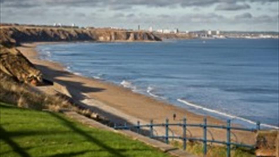
Continue northwards. There are good views north towards Sunderland. Follow the footpath back to Seaham Hall Beach car park to our starting point.
TripAdvisor
Facilities
Accessibility
- Distance: 1-5 Miles
- Grade: Easy
- Route Surface: Off Road
- Theme: Breathtaking Views
- Theme: Heritage
- Toilets for disabled visitors - In Tonia's Cafe at Seaham Hall Beach Car Park.
Catering
- On-Site café/restaurant - Tonia's Cafe at Seaham Hall car park and various around town.
Parking & Transport
- Parking (free) - 3 car parks on Seaham front.
Provider Facilities
- Toilets - In Tonia's Cafe at Seaham Hall Beach Car Park.
Provider Features
- Coastal
- In town/city centre
- Outdoor Attraction
- Walk Distance - 3 miles / 5km
Opening Times
| 2025 (1 Jan 2025 - 31 Dec 2025) |
|---|


 to add an item to your Itinerary basket.
.png)


