About
Starting from Newbiggen Lane, follow Lanchester Valley Railway Walk towards Consett. You will pass the back of All Saints Catholic Primary School built in 1905 (No public access). As the path enters the open countryside you will see the remains of the Greencroft Hall estate to the north. Greencroft Hall was built by the Clavering family in 1670. A dovecote, dairy, Fenhall Lodge and ice house have survived in the old park.
Approximately one and a half miles out of the village the old railway line rises up to the site of Hurbuck Viaduct. This was a 700 foot long structure built with 36 wooden spans, 20 feet wide. It was declared unsafe in 1920 and filled in with spoil. There are views south from here across farmland which was opencast mined during the 1950s.
Continue along railway line to Hurbuck Farm. The farmhouse is listed Grade II, some parts may date from the late 16th century (No public access). Two stone moulds for making bronze axes were found at Hurbuck Farm. They are probably of Bronze Age (2300BC to 800BC) date. Hurbuck is thought to have been the possible site of a medieval village.
Turn left at farmhouse continue through gate and head straight along Lane to Hurbuck cottages on left. At road junction turn left and walk down Humberhill Lane, continue across Newbiggin Lane and carry on until you reach a ladder stile on the left hand side.
Please note: Care should be taken to follow the advice of the highway code. Take special care as traffic may be moving very fast.
Climb over and carry on straight uphill to summit of Humber Hill. This was called Cold Pig Hill on 18th century maps. Colepike Hall was the home of Hannah Newton a coal heiress who married Andrew Robinson Stoney and died as a result of his ill treatment. He later married Mary Eleanor Bowes and was known then as Stoney Bowes. His scandalous behaviour towards her caused her to run away and eventually he was imprisoned. The well known phrase “Stoney Broke” originates from the activities of Stoney Bowes. The hall was occupied by the Taylor Smith family during the nineteenth century.
At the top of Humber Hill turn to face west. There are panoramic views to Woodlands Hall built by Thomas White (1736-1811) a wellknown landscaper with commissions throughout Britain. He was a pupil of Lancelot ‘Capability’ Brown. White designed the landscape with clumps of trees (some are visible from the road) and a lake. White won medals from the Royal Society for improving this land which was previously moorland (No public access). To the south there are views across Colepike Hall (Grade II)
farmland and across to Cornsay.
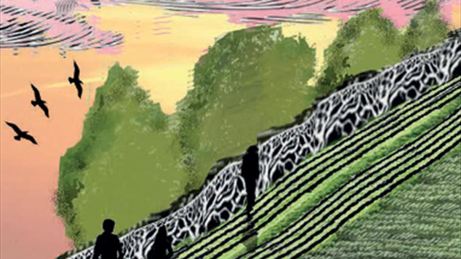
Heading east from the summit take the ladder stile into next field and follow the field edge to next gate. Through the gate head diagonally across field to corner of dry stone wall and follow the wall down the hill to Hollinside Farm. Dry stone walling is a technique which has been practised in Britain for many hundreds of years, particularly in the north and west where stone is readily available on the surface of the ground.
Follow the track through the farm then turn left onto the B6296. Hollinside Terrace on the right hand side was built to house miners who worked for Ferens & Love collieries.
Turn left off the B6296 and follow road through Upper Houses Farm (Lanchester Dairies).
A Roman alter was found beyond the farm at Yeckhouse in 1813. In the 1970s the site was excavated and the remains of a large 17th century building was discovered. The lane leads to Newbiggin Farm which is believed to have been the site of a medieval village. Turn right onto Newbiggin Lane and then left onto footpath. Through gate turn left over stile and follow the fenceline downhill to Lanchester Valley walk. Cross Lanchester Valley walk and continue downhill over two stiles and turn right joining the Lane
to the village at Low Meadows, heading east. The lane crosses the route of Dere Street, a route used by the Romans between York and the Firth of Forth, Scotland.
TripAdvisor
Facilities
Accessibility
- Distance: 5-10 Miles
- Grade: Moderate
- Route Surface: Off Road
- Route Surface: On Road
- Route Surface: Railway Path
- Theme: Breathtaking Views
- Theme: Heritage
Provider Features
- In countryside
- Walk Distance - 7 miles
Access Information
Opening Times
| 2025 (1 Jan 2025 - 31 Dec 2025) |
|---|


 to add an item to your Itinerary basket.


